
 Rock
Rock Aggregate
 Cement
 Concrete
 Soil
Soil Steel
Steel Bitumen/Asphalt
 Security Survey Equipment
 General Items

AZA 1033 AUTOMATIC LEVEL
- Precision leveling instrument for construction & surveying
- Magnetic damping for fast, stable readings
- Reliable optics with 20x–32x magnification options
- Ideal for land survey, building layout & road work
- Built-in compensator for auto horizontal alignment
- Durable, weather-resistant build for field use
- Easy to set up with tripod mount compatibility
- Smooth focusing with fine-tuning adjustment knobs
Description
The Automatic Level (also known as Auto Level) is a crucial optical surveying instrument designed to perform highly accurate leveling in construction sites, roadwork, and civil engineering projects. Its core function is to establish or verify points on the same horizontal plane across distances, making it indispensable for engineers, surveyors, and builders.
Unlike manual leveling tools, an automatic level features a self-leveling compensator system that automatically maintains a true horizontal line of sight, even when minor movements or vibrations occur. This makes it faster and more efficient to operate — especially in outdoor conditions or on uneven surfaces.
The Azalab Automatic Level includes a high-precision telescope that offers 20x to 32x magnification, depending on the model. This allows professionals to read staff measurements clearly and from greater distances. The telescope’s multi-coated lenses improve light transmission, ensuring sharp and bright images even in low-light settings.
An essential feature of this tool is its magnetic or air-damped compensator, which quickly stabilizes the line of sight after small disturbances. Whether you’re working on a building foundation, marking elevation levels, or planning for earthworks, the auto-level ensures stable and consistent measurements.
Engineered with rugged construction, the instrument features a weather-resistant housing that protects the internal optics and mechanisms from dust, moisture, and accidental knocks. It is designed for long-term use in challenging site conditions, making it ideal for fieldwork in both urban and rural areas.
Setting up the auto level is quick and intuitive. It comes with a standard 5/8″ thread, allowing seamless mounting on most tripods. With the use of foot screws and a circular bubble level, the device can be roughly leveled manually. Once close to level, the built-in compensator takes over and automatically fine-tunes the horizontal alignment — saving time and improving efficiency.
The horizontal fine-motion knobs allow for smooth 360-degree rotation, enabling users to easily aim and align the instrument. A horizontal graduated circle is also included for angle measurement, which is useful in tasks like road layout, slope marking, or area segmentation.
Professionals often use the automatic level along with leveling staffs (typically graduated in mm or cm), which are placed at various survey points. The staff readings are viewed through the optical scope, and the difference in height between points can be calculated instantly, making it a reliable tool for cut & fill calculations, drainage planning, and more.
Common users include:
-
Civil engineers laying foundations and setting slope gradients
-
Land surveyors determining elevation profiles
-
Road construction teams ensuring straightness and grade
-
Architects verifying ground leveling during site inspections
To learn more about best practices for using auto levels, instrument calibration, and surveying procedures, refer to resources such as surveyequipment.com, engineeringtoolbox.com, and university-level courses on NPTEL or Coursera. These platforms provide in-depth tutorials and case studies for both academic and professional use.
In summary, the Azalab Automatic Level combines precision engineering, reliability, and ease of use — making it an ideal choice for any surveying or construction project. Whether you’re measuring elevation, marking benchmarks, or executing long-range leveling tasks, this instrument delivers consistent accuracy, job after job.
Specifications:
| Feature | Specification |
|---|---|
| Telescope Magnification | 20x to 32x (depending on model) |
| Objective Aperture | Approx. 36mm |
| Field of View | 1° 30′ or wider |
| Minimum Focus Distance | 0.5 to 1 meter |
| Compensator Type | Magnetic or air-dampened |
| Accuracy (per km double run) | ±1.5 mm to ±2.5 mm |
| Tripod Mount Thread | 5/8″ standard |
| Weight | Approx. 1.5–2.5 kg |
Frequently Asked Questions (FAQ):
Q1: What is the difference between an automatic level and a dumpy level?
A: The automatic level uses a built-in compensator for self-leveling, whereas a dumpy level must be manually adjusted each time.
Q2: Is this suitable for road construction?
A: Yes, it’s widely used for road alignment, slope measurement, and elevation verification.
Q3: Can I use any tripod with this instrument?
A: Yes, as long as it has a standard 5/8″ mounting screw and stable base.
Q4: Does this require batteries or power?
A: No. The auto level is an optical instrument and does not require any power source.
Q5: How often should I calibrate the instrument?
A: Regular calibration is advised, especially if the unit is used daily or moved frequently across rugged sites.
Additional information
| Telescope Magnification |
20x to 32x (depending on model) |
|---|---|
| Objective Aperture |
Approx. 36mm |
| Field of View |
1° 30' or wider |
| Minimum Focus Distance |
0.5 to 1 meter |
Related products
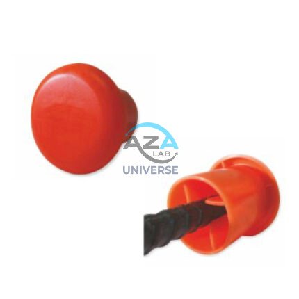
AZA 1024 PROTECTIVE CAPS FOR REBAR, PIPE, BOLTS
- Heavy-duty protective caps for rebar, pipe, and bolts
- Prevents injuries, corrosion, and damage on site
- Bright color enhances site visibility and safety
- Made from durable, weather-resistant plastic or rubber
- Available in multiple sizes and fits securely
- Compliant with OSHA and construction safety standards
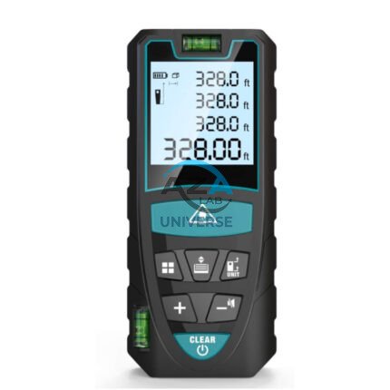
AZA 1030 LASER DISTANCE METER
- Instant digital measurement up to 100 meters
- Accurate to ±1.5 mm with fast response time
- Measures distance, area, volume, and Pythagorean
- Backlit LCD for easy viewing indoors/outdoors
- Compact, pocket-sized, and rechargeable
- Ideal for builders, surveyors, and interior designers
- Stores multiple readings with memory function
- Durable, dustproof, and splash-resistant
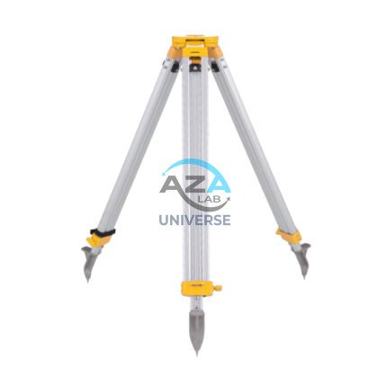
AZA 1037 ALUMINUM TRIPOD
- Lightweight aluminum tripod for field instruments
- Ideal for surveying, mapping, and construction layout
- Extendable legs with quick clamps for easy setup
- Stable base with pointed feet for all terrains
- Compatible with auto levels, total stations, lasers
- Includes shoulder strap or carrying handle
- Adjustable height: typically up to 160 cm
- Durable, rust-resistant design for outdoor use

AZA 1041 GEOLOGICAL HAMMER
- Forged steel head for long-lasting durability
- Ideal for geologists, students & fossil hunters
- Anti-slip rubber handle for better grip
- Balanced weight for reduced hand fatigue
- Chisel & pointed tip options for varied tasks
- Shock-absorbing design minimizes vibrations
- Suitable for field, excavation & academic use
- Resistant to corrosion, wear & impact
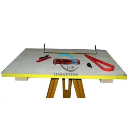
AZA 1044 PLANE TABLE SET
- Complete plane table set for surveying and mapping
- Ideal for topographic work, site planning, and field layout
- Includes drawing board, alidade, tripod & accessories
- Weather-resistant wooden board with smooth surface
- Collapsible, stable tripod stand with adjustable height
- Used by civil engineers, geologists, and students
- Durable and easy to transport
- Compatible with standard drawing sheets and maps

